
Shop
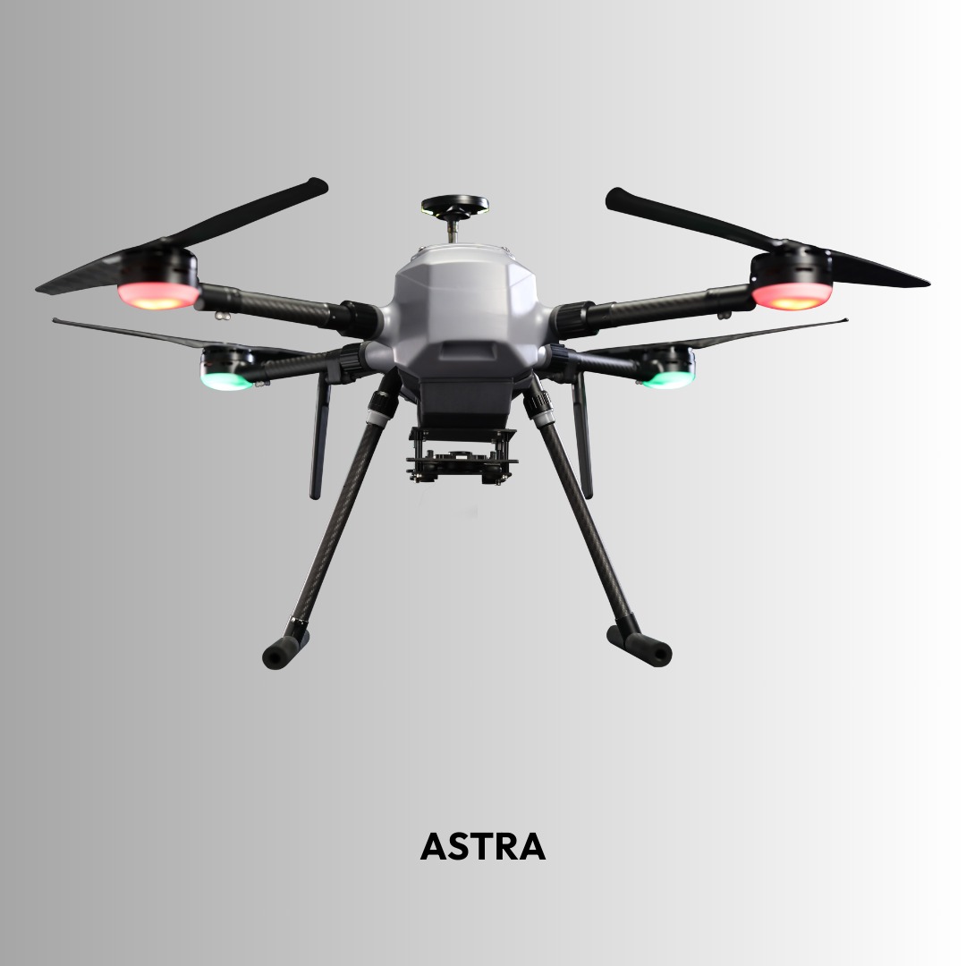
ASTRA-M Multi-Rotor Mapping Drone
ASTRA-M is a professional multi-rotor mapping drone offering
up to 40 minutes of flight time, RTK/PPK positioning support, and high-precision
data capture for surveying and geospatial missions.
Description
ASTRA-M Multi-Rotor Mapping Drone
ASTRA-M is a professional multi-rotor drone engineered for
high-precision aerial mapping and surveying missions. Designed for stability,
reliability, and accurate data capture, ASTRA-M delivers dependable performance
for geospatial and industrial applications.
Key Specifications
Flight Time
Up to 40 Minutes
Max Payload
Up to 2 kg
Positioning
RTK / PPK GNSS Support
Communication Range
Long-Range Data Link
Autonomous Missions
Waypoint & Survey Planning
Stability
High-Precision Flight Control
Advanced Features
- High-resolution mapping payload compatibility
- Georeferenced data capture with centimeter-level accuracy
- Robust multi-rotor frame design
- Reliable performance in varied field conditions
- User-friendly ground control integration
Applications
- Aerial mapping & surveying
- 3D modeling & orthomosaic generation
- Infrastructure inspection
- Mining & land assessment
- Precision agriculture analysis
