
Shop
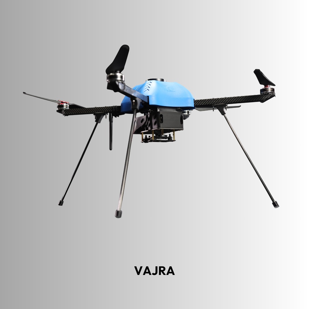
VAJRA-M Mapping Drone
VAJRA-M is a high-precision aerial mapping drone built for professional
surveying and geospatial data collection. With up to 40 minutes of flight time,
RTK/PPK GNSS positioning, and long-range communication capability, it delivers
accurate, reliable performance for complex mapping and inspection missions.
- Up to 40 minutes flight time
- RTK / PPK high-accuracy positioning
- Up to 10 km communication range
- Supports modular mapping payloads
Description
VAJRA-M Mapping Drone
The VAJRA-M is a professional aerial mapping drone designed for
high-precision geospatial data collection, surveying, and industrial inspection.
Built for stability and accuracy, it delivers reliable performance for complex missions.
Key Specifications
Flight Time
Up to 40 minutes
Max Payload
1 kg
Cruise Speed
15 m/s
Operating Altitude
Up to 4500 m ASL
Communication Range
Up to 10 km
Positioning System
PPK / RTK GNSS
Advanced Features
- Autonomous waypoint navigation
- High-precision georeferenced mapping
- Modular payload compatibility
- Stable multi-rotor platform design
- User-friendly mission planning software
Applications
- Aerial mapping & topographic surveys
- 3D modeling & orthomosaic generation
- Mining & infrastructure inspection
- Environmental monitoring
- Precision agriculture analysis
